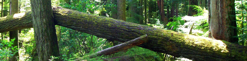
Destination travelers will want to know that this area gives understanding to the incredibly of vast terrain offered in British Columbia - its soothing water ways are perfect for fishing or paddling (if not planning your stay with a retreat it is recommended that you bring your own vessel and equipment) and the local resorts and accommodations on ranch land often offer canoes, horseback riding, nature trails, cross-country skiing, and snowmobiling. They may also be able to help contact local tour operators of the famous northern winter adventure of dog sledding!
Lone Butte is located along the "Fishing Highway", which follows the historic Fur Brigade Trail as it passes from Little Fort to Bridge Lake. This area is part of the abundant Interlakes area - with over one hundred lakes to choose from.
The town's historic landmark, the oldest wooden water tower in British Columbia, stands along the tracks of the towns earliest railway line. Historically, Lone Butte had once been a large town and is a remnant marker along the 'The Gold Rush Trail' followed by many visitors even today.
Travelers will see the shell of the former 'high riding town' and enjoy the seclusion and hometown feel present today, which includes a restaurant, log pub, railway stop, galleries, craft stores, and information center.
Bevölkerung: 100
Besonderheiten:
Wooden Water Tower
Mt. Begbie Lookout
Watch Lake
Green Lake
Irish Lake
Bridge Lake Provincial Park - Trout fishing
Fishing Highway
Lac Des Roches
Geschichte:
The region, known as the Chilcotin, was populated for centuries by the Northern Athabaskan First Nations band the Tsilhqut'in, a name in their native language which was Tsilhqot'in. Athabaskan (loosely) translated from the Cree native words describing Lake Athabasca , means "grass or reeds here and there". Their culture and language of the northern 31 languages (there a yet more, south and throughout North America) stretch throughout the interior of Alaska, the interior of northwestern Canada in the Yukon, the Northwest Territories, the provinces of British Columbia, areas of Alberta, Saskatchewan and Manitoba.
European explores arrived in the late 1800's, and from the turn of the century, until the late 1950's, Lone Butte existed as the largest town in Cariboo Country. The boom of gold rush driven prospectors, trades people and early pioneers eventually ran dry.
Apparently, the town was named for the "butte" - a plug of a local ancient volcano. Hikers can still access the 250 foot-high plug for a bird's-eye view of the endless, diverse terrain.
Klima:
Summer average 22 degrees Celsius
Winter average -10 degrees Celsius