Heute führt der Malahat Highway durch dieses Gebiet. Ehemals eine Viehtriebroute 1861 angelegt, führt seit 1911 eine Straße zum 356 Meter hohen Gipfel. Die Aussicht ist atemberaubend. Nutzen Sie die Gelegenheit an einem der Aussichtspunkte anzuhalten und genießen Sie die Ruhe und Stille mit Blick auf die Saanich Peninsula, den Gulf Islands und in der Ferne den Mount Baker.
Bevölkerung: 250+
Besonderheiten:
Incredible Views
Fine Dining
Elegant Accommodations
Ocean Views
Campgrounds
Geschichte:
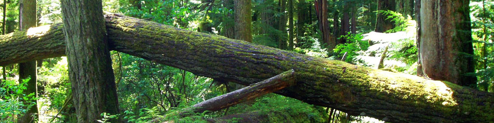
Named after the Malahat First Nation, this area is a sacred place and home to Thunderbird and other legendary beings. Malahat Mountain (or Yaas as the elders refer to it as) is deeply linked to their concept of "tcelengam", which in the Sencoten language means ”teaching of the places where you come from”. And in their view this spiritual landscape will provide for both physical and spiritual well-being.
Today the Malahat Drive, originally a cattle drive cut through in 1861, is now a paved route (as of 1911) with several look out points and is part of the Island Highway out of the southern island city of Victoria.
Klima:
Summer average 19 degrees Celsius
Winter average 3 degrees Celsius
Malahat Unterkünfte
Malahat Things to Do
British Columbia